Precise data acquisition and accurate documentation for content creation and collaboration
3D Virtual Tours
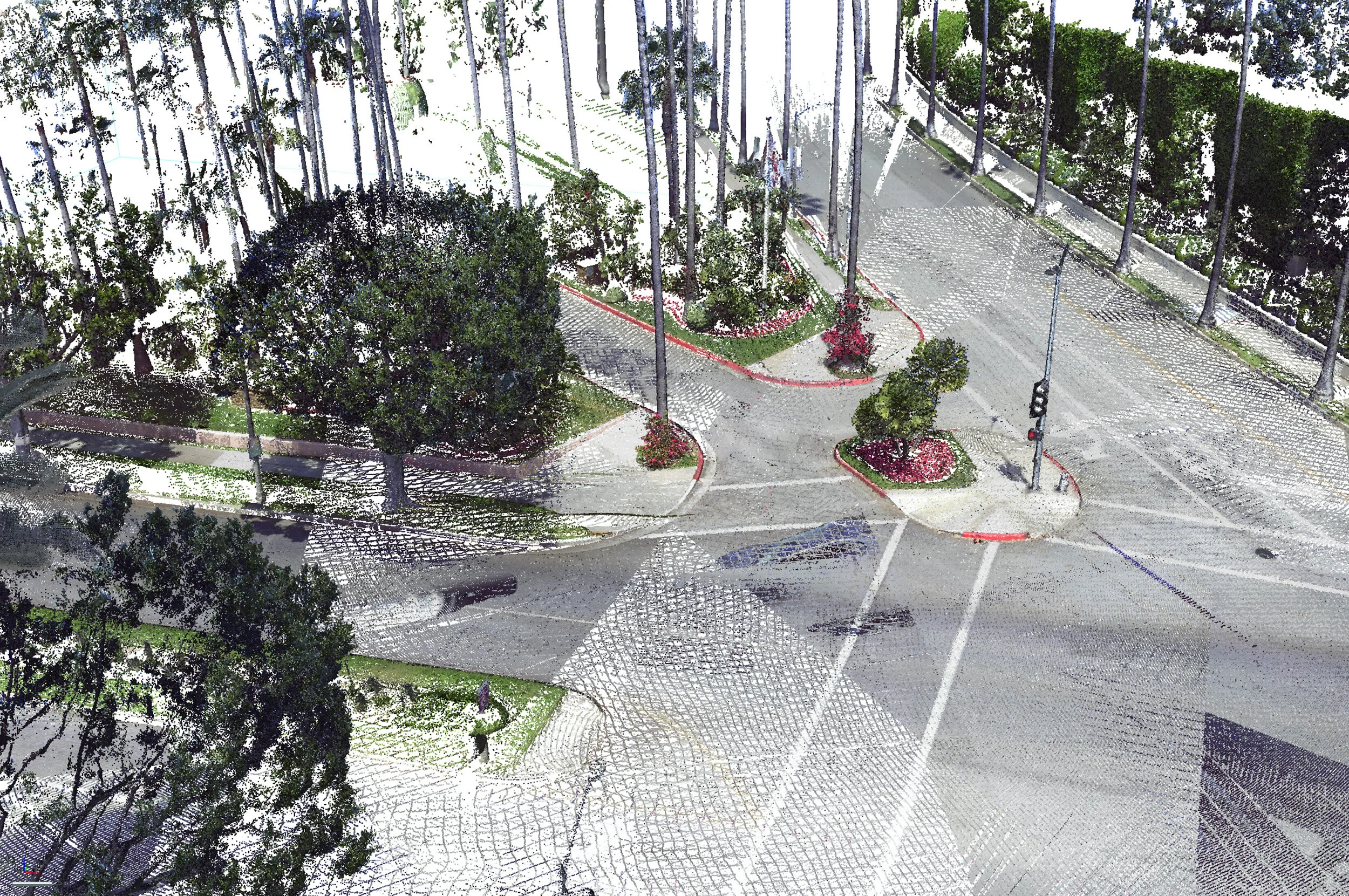
We use high resolution 360° cameras and state of the art laser scanners to make a 3D virtual space of any location, including residential and commercial real estate.
Drone Photography and Videos
We are FAA compliant, Part 107 commercially licensed drone pilots. Primarily flying DJI Mavic Pro and Phantom series drones, we can capture a wide array of footage, from aerial map overlays to high- and low- altitude, high definition photographs and videos.
3D Modeling
We have the capability to create both 3D models and point clouds of practically any building, object, or space utilizing cutting edge software combined with aerial drone photographs. Current applications include litigation support services and engineering analysis.


